Empowering Industries through Spatial Intelligence
Bridging the Gap between GIS Technology and Transportation, Energy, Agriculture, and More
Transportation: Efficient Routing and Tracking
With GIS technology, GISKernel enables transportation companies to optimize their operations on multiple fronts. They can efficiently plan routes, taking into account factors like traffic congestion and road conditions, resulting in cost savings and timely deliveries. Real-time tracking of assets ensures better fleet management and improved customer service.

Energy & Utilities: Optimized Infrastructure Management
GISKernel empowers energy and utilities companies to effectively manage their networks and infrastructure. By leveraging GIS, they can visualize and analyze their assets, such as power grids and pipelines, for better planning and maintenance. This allows them to optimize energy distribution, identify potential vulnerabilities, and respond promptly to outages or emergencies.

Smart Cities: Transforming Urban
GIS plays a pivotal role in creating smart cities by harnessing spatial data for urban planning and development. GIS Kernel assists in analyzing and visualizing data related to demographics, infrastructure, and services, enabling city authorities to make informed decisions. This includes optimizing transportation networks, identifying suitable locations for amenities & facilities.

Agriculture: Precision Farming Solutions
GISKernel’s GIS solutions empower the agriculture industry by leveraging spatial data for precision farming practices. By analyzing soil characteristics, crop health, and water resources, farmers can make informed decisions regarding irrigation, fertilizer application, and pest control. This leads to improved crop yield, reduced resource wastage, and better environmental stewardship.

Telecommunication: Enhanced Network Planning
GIS Kernel assists telecommunication companies in optimizing their network planning and operations. GIS technology enables them to identify suitable locations for cell towers, analyze signal coverage areas, and predict network demand based on customer demographics. This helps in expanding network coverage, improving signal strength, and enhancing overall service quality.

Disaster Management: Proactive Emergency Response Solutions
GIS Kernel’s GIS solutions are instrumental in disaster management, helping organizations and authorities effectively respond to and mitigate the impact of disasters. GIS technology facilitates comprehensive risk assessment by mapping vulnerable areas, critical infrastructure, and population density. It aids in emergency planning by visualizing evacuation routes, shelter locations, and resource allocation.

Insights & Success Stories: Our Latest Blogs

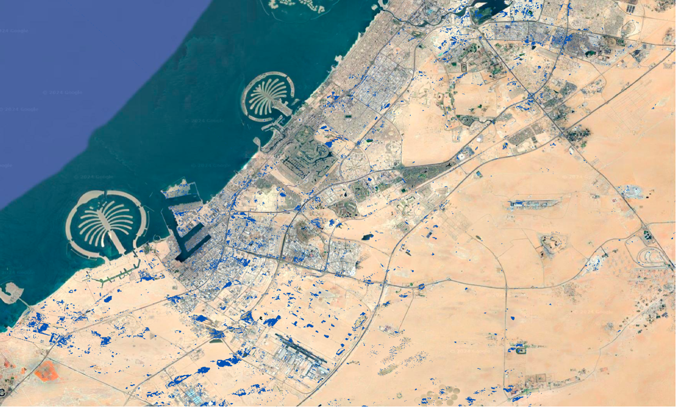
Dubai’s Population Boom: Is Disaster Preparedness Keeping Pace?
Dubai’s Population Boom: Is Disaster Preparedness Keeping Pace? Dubai, renowned for its rapid development and…

Charging Ahead: Optimizing EV Infrastructure Planning with Geospatial Technology
Charging Ahead: Optimizing EV Infrastructure Planning with Geospatial Technology As the world transitions towards a…

Everything You Need to Know About Carbon Credits and The Role of Geospatial Technology
Everything You Need to Know About Carbon Credits and The Role of Geospatial Technology As…